FEMA flood maps are not particularly glamorous or technologically exciting. They have done their work for many years and, provided that they are up to date, are an effective way of communicating a generalized level of flood risk. FEMA flood maps have been the primary, flood insurance underwriting tool for the National Flood Insurance Program (NFIP). That program is currently billions of dollars in debt to the U.S. Treasury due to premium subsidization.
Also, FEMA flood maps have been used extensively by local governments in their efforts to keep development out of the floodiest areas of the U.S. That has not worked out so well, either, as coastal and riverine developments in the most flood-prone areas have abounded over the past 30-years. As we saw with the Hurricane Harvey disaster in 2017, FEMA flood maps are far from perfect. Nearly a hundred thousand homeowners in the FEMA X Zone (500-year, or 0.2% annual risk) in Houston, who were told that they did not need or were not required to purchase flood insurance, had their homes severely damaged by Harvey’s heavy rainfall flooding.
In 2016, we at Coastal Risk Consulting observed that FEMA flood maps did not provide comprehensive enough flood risk assessments to allow individuals and businesses to make accurate “buy, sell, protect and insure” decisions at the property level. So, Coastal Risk identified a number of improvements that could be made to the FEMA flood maps, including downscaling risk mapping to the individual property level, and made them publicly available for purchase at www.floodscores.com for any property in the U.S.
FEMA flood maps don’t tell the whole story about your risk of flooding.
First, as was seen with Hurricane Harvey flooding in Houston, FEMA flood maps don’t include heavy rainfall flooding risks to your home or business. Properties in FEMA X Zones, which don’t require flood insurance for federally insured mortgages, may definitely need to be insured to protect them from heavy rainfall flooding. Coastal Risk models heavy rainfall flood risk for every property in the U.S.; FEMA flood maps do not.
See also: Emerging Market for Flood Insurance
FEMA flood maps also don’t include coastal tidal flooding risks to your home or business. Tidal flooding is a property damage “threat multiplier." When hurricanes come ashore at high tide or even a King Tide, which often occurs in the fall on the Atlantic Coast of the U.S., properties with existing tide flooding are at much greater risk of damage and loss than those that don’t experience tidal flooding. FEMA flood maps do not take this type of flooding into account, now and into the future as sea levels rise. King Tides occurs during the height of hurricane season. Because King Tides are due to astronomy and not weather, scientists know precisely when they will occur.
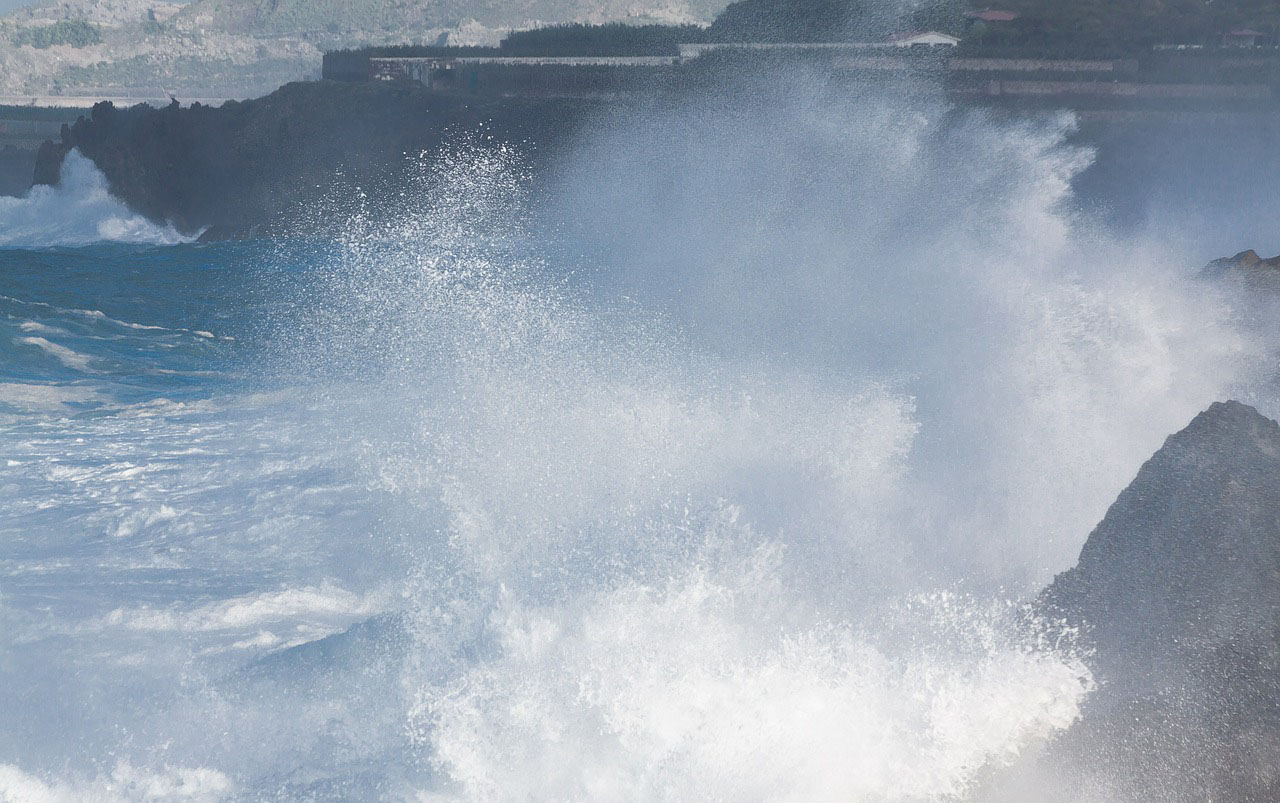
FEMA flood maps also underestimate the height of hurricane storm surge, as compared with NOAA models. NOAA surge models typically show higher water heights than the FEMA Base Flood Elevations (BFEs), which are a key component of the FEMA flood maps. The higher the surge, the greater the economic damage and loss to properties, and the greater the risk of injury and death to those who don’t evacuate in advance of these storms.
FEMA Flood Maps Aren’t Good Enough
A hundred thousand homeowners who were told they did not need flood insurance had their homes severely damaged by Harvey.